Kiowa National Grassland – Clayton

The Kiowa National Grasslands consists of 137,000 acres of public land in Northeast New Mexico set aside to protect and restore the shortgrass prairie habitat. The National Grasslands are managed by the Cibola National Forest, of the United States Department of Agriculture’s US Forest Service. The grasslands are open to public access and are suitable for camping, hiking, hunting, bicycling, and wildlife watching.
The Kiowa National Grasslands are located in two separate areas, one being the Mills Canyon and Roy area and the other being near Clayton. The grassland areas are organized into small properties, called Units, which are often irregular-shaped, surrounded by private property, and sometimes unmarked. Access into some Units may require crossing private property, which should only be done with the landowner’s permission.

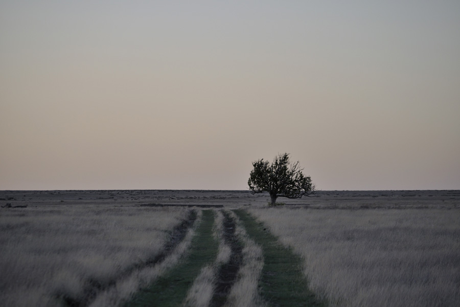
Either the Roy area or the Clayton grassland area is close enough to Raton for an easy day trip, but since the highlight of the open prairie is the sunrise and sunset, an overnight stay is warranted. All of the photos on this page are from the Clayton area, and more specifically, most are from Units 66 and 67 where the Santa Fe Trail crosses the National Grasslands.

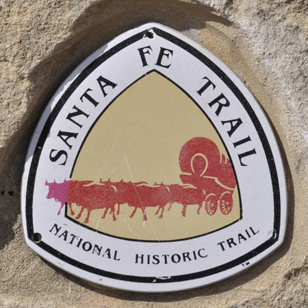
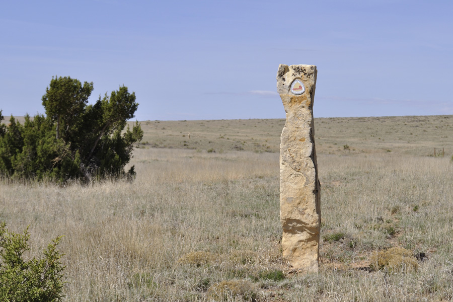
The Santa Fe Trail is marked by upright stone columns with embedded trail emblems. If you miss a column, can’t determine the historic trail location, and end up wandering the prairie… you might find a cow skull, historic ruins, or prehistoric artifacts out in the shortgrass prairie.


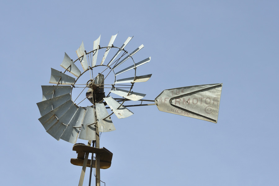
Easier to spot at a distance than the stone markers, windmills appear on the maps and are an easy navigation aid.


For general navigation and locating Units, the USDA Forest Service map, Kiowa and Rita Blanca National Grasslands, is invaluable. For more critical navigation such as determining hunting boundaries, there are more detailed topo quadrangle maps available. There is also a staffed Forest Service ranger office in Clayton.
